Show the map
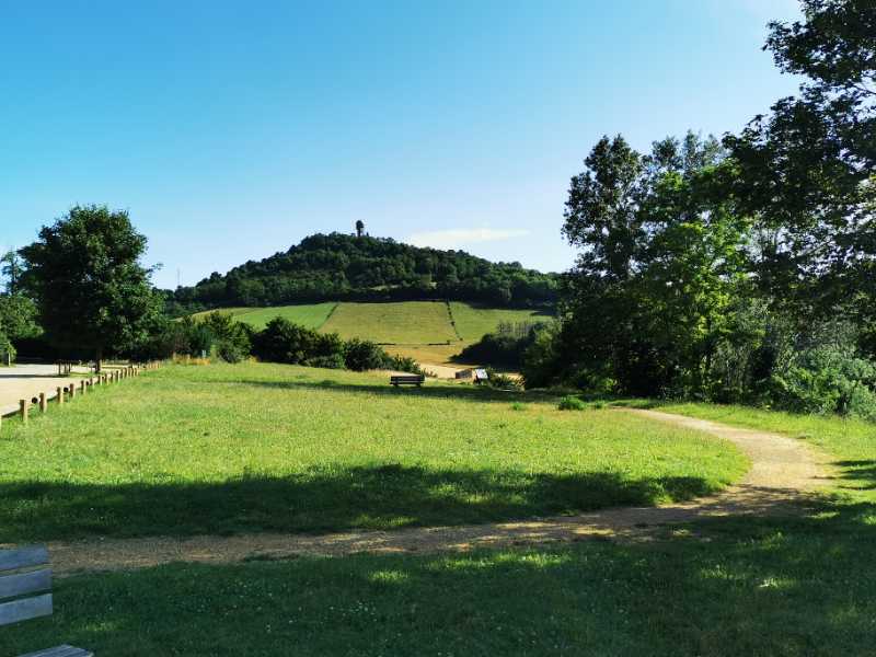
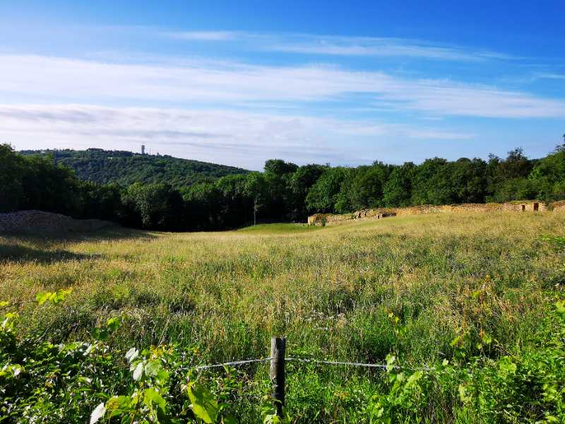
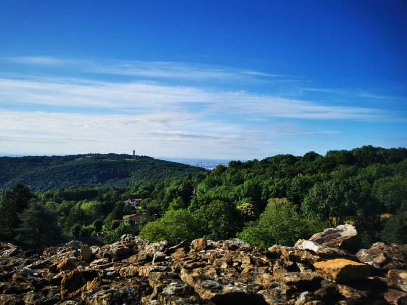
St-Didier-au-Mont-d'Or - Mont Cindre - Mont Thou


11.5 km
680 m
690 m
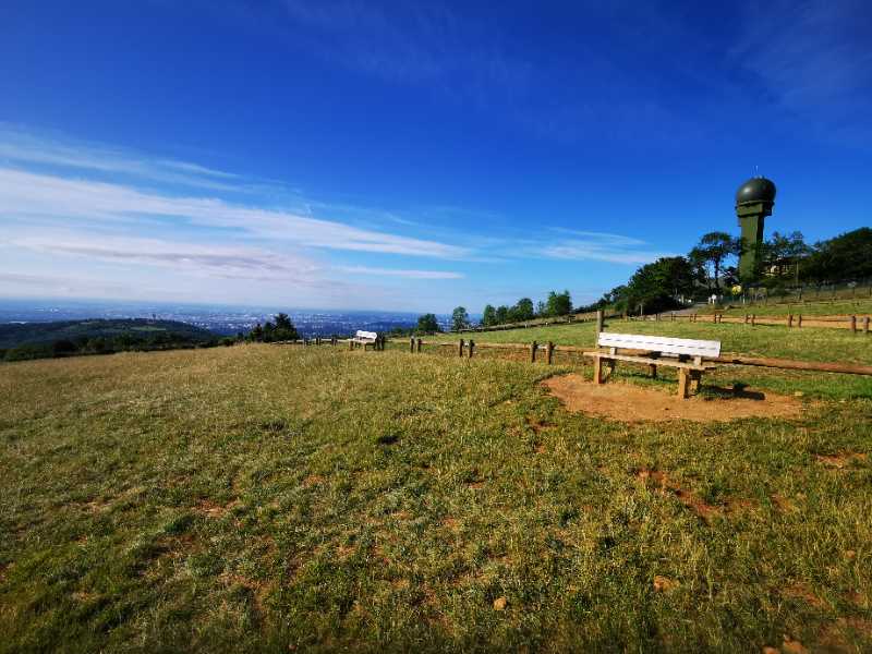
 Limonest (69)
 Saint-Didier-au-Mont-d’Or (69)
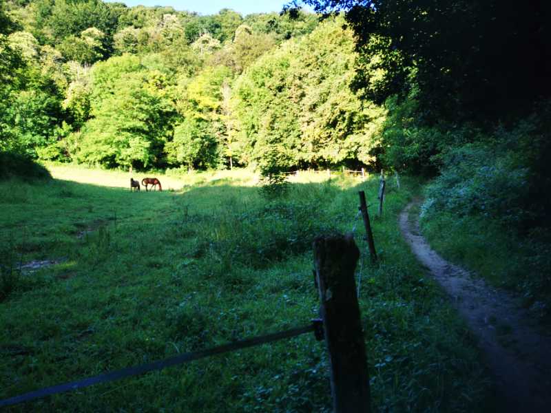

Points of Interest table
| Accum. | Intermediary | |||||||
|---|---|---|---|---|---|---|---|---|
| POI | Description | Alt. | Dist. | D+ | D- | Dist. | D+ | D- |
Trace n°119888
Ascent threshold : 3 m Distance threshold : 0 m Smoothing : No Origin of altitudes : TrailConnect Android (baro) - GPS
Ascent threshold : 3 m Distance threshold : 0 m Smoothing : No Origin of altitudes : TrailConnect Android (baro) - GPS
Loop
Dominant terrain : Footpath
Max alti. : 643 m
Avg alti. : 460 m
Min alti. : 250 m
Longest ascent : 230 m
Longest descent : 170 m
Route completed by the author : Yes
Dominant terrain : Footpath
Max alti. : 643 m
Avg alti. : 460 m
Min alti. : 250 m
Longest ascent : 230 m
Longest descent : 170 m
Route completed by the author : Yes
Elevation profile
More tools
Create a new roadbook page
Map and track on your website
Warning ! When you insert a Trace de Trail map on your website, you agree not to hide any element of the module (links to Trail Trail or Trail Connect banner)
Add a realisation
Validate
Add a realisation to share your chrono and describe the conditions that you encountered during you trail running !
Add a comment
Validate
papy-trail
21/02/23, 18:25:13
Jolie boucle bien vallonnée pratiquement que du sentier très caillouteux mais c'est le propre des Mont d'Or attention au kilomètre 5,8 jusqu'au km 6,2 il faut traverser une propriété qui est indiquée privée avec des risques d'éboulement . Il y a des barbelés qui ont été plus ou moins arrachés .Il faudrait redessiner cette trace pour contourner cet obstacle.
Show the infos
Add a track

