Show the map
Goutte Michonnet - Mezire - Le châtelard


15 km
510 m
510 m
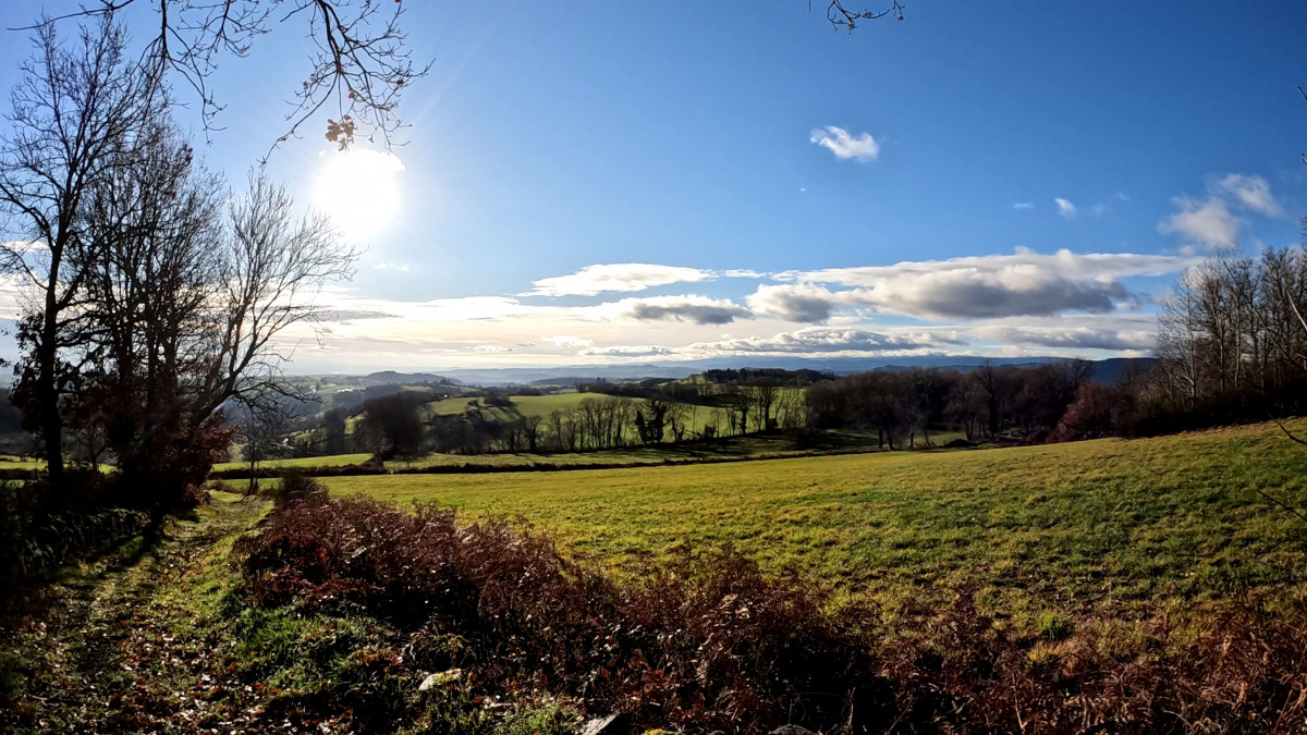
 Cherier (42)
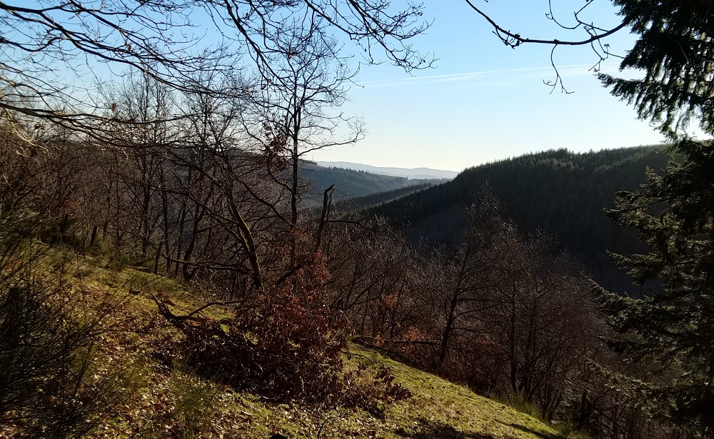
Points of Interest table
| Accum. | Intermediary | |||||||
|---|---|---|---|---|---|---|---|---|
| POI | Description | Alt. | Dist. | D+ | D- | Dist. | D+ | D- |
Trace n°79718
Ascent threshold : 3 m Distance threshold : 30 m Smoothing : Yes Origin of altitudes : TrailConnect Android (baro) - MNT IGN
Ascent threshold : 3 m Distance threshold : 30 m Smoothing : Yes Origin of altitudes : TrailConnect Android (baro) - MNT IGN
Loop
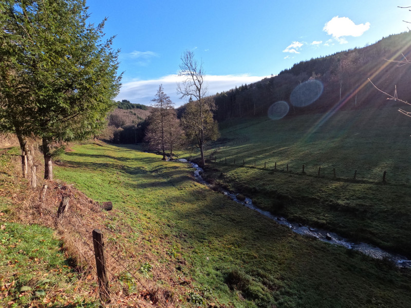
Dominant terrain : Path
Max alti. : 901 m
Avg alti. : 759 m
Min alti. : 595 m
Longest ascent : 240 m
Longest descent : 210 m
Route completed by the author : Yes
Dominant terrain : Path
Max alti. : 901 m
Avg alti. : 759 m
Min alti. : 595 m
Longest ascent : 240 m
Longest descent : 210 m
Route completed by the author : Yes
Elevation profile
More tools
Create a new roadbook page
Map and track on your website
Warning ! When you insert a Trace de Trail map on your website, you agree not to hide any element of the module (links to Trail Trail or Trail Connect banner)
Add a realisation
Validate
Add a comment
Validate
Show the infos
Add a track


