Show the map
Argentière - Tré-le-Champ - La Poya - Col des Posettes - Tête du Chenavier
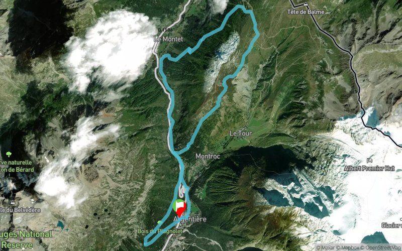


17.6 km
1150 m
1160 m
 Vallorcine (74)
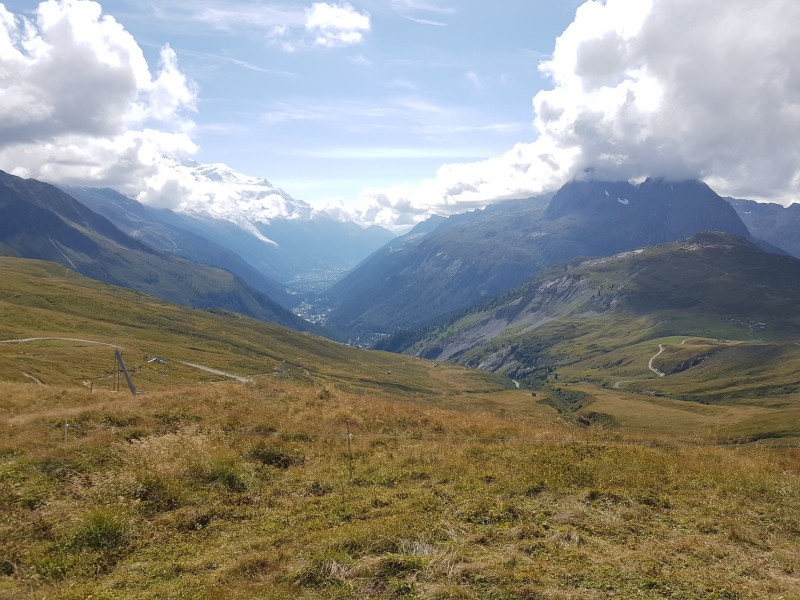
Points of Interest table
| Accum. | Intermediary | |||||||
|---|---|---|---|---|---|---|---|---|
| POI | Description | Alt. | Dist. | D+ | D- | Dist. | D+ | D- |
Trace n°45299
Ascent threshold : 3 m Distance threshold : 30 m Smoothing : Yes Origin of altitudes : MNT Aster GDEM
Ascent threshold : 3 m Distance threshold : 30 m Smoothing : Yes Origin of altitudes : MNT Aster GDEM
Loop
Dominant terrain : Footpath
Max alti. : 2061 m
Avg alti. : 1583 m
Min alti. : 1256 m
Longest ascent : 770 m
Longest descent : 830 m
Route completed by the author : nc
Dominant terrain : Footpath
Max alti. : 2061 m
Avg alti. : 1583 m
Min alti. : 1256 m
Longest ascent : 770 m
Longest descent : 830 m
Route completed by the author : nc
Elevation profile
More tools
Create a new roadbook page
Map and track on your website
Warning ! When you insert a Trace de Trail map on your website, you agree not to hide any element of the module (links to Trail Trail or Trail Connect banner)
Add a realisation
Validate
Add a realisation to share your chrono and describe the conditions that you encountered during you trail running !
Add a comment
Validate
Show the infos
Add a track


