Show the map
OFFICIAL ROUTE
Le Grépon - Plan de l'Aiguille


5.2 km
1156 m
0 m
 Chamonix-Mont-Blanc (74)
 Chamonix-Mont-Blanc (74)
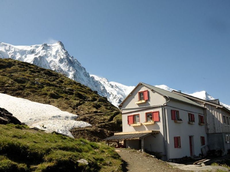
Leaving from the Grépon car park the Plan de l’Aiguille challenge awaits you with 1150m of ascent over 5.3km. The stopwatch starts at the foot of the ski jump, revealing the steep slope under the forest of spruces !
Points of Interest table
| Accum. | Intermediary | |||||||
|---|---|---|---|---|---|---|---|---|
| POI | Description | Alt. | Dist. | D+ | D- | Dist. | D+ | D- |
Trace n°19674
Ascent threshold : 3 m Distance threshold : 30 m Smoothing : Yes Origin of altitudes : MNT IGN
Ascent threshold : 3 m Distance threshold : 30 m Smoothing : Yes Origin of altitudes : MNT IGN
Crossing
Dominant terrain : Footpath
Max alti. : 2199 m
Avg alti. : 1605 m
Min alti. : 1043 m
Longest ascent : 1170 m
Longest descent : 0 m
Route completed by the author : Yes
Dominant terrain : Footpath
Max alti. : 2199 m
Avg alti. : 1605 m
Min alti. : 1043 m
Longest ascent : 1170 m
Longest descent : 0 m
Route completed by the author : Yes
Elevation profile
More tools
Create a new roadbook page
Map and track on your website
Warning ! When you insert a Trace de Trail map on your website, you agree not to hide any element of the module (links to Trail Trail or Trail Connect banner)
Add a realisation
Validate
Add a realisation to share your chrono and describe the conditions that you encountered during you trail running !
More realisations
Add a comment
Validate
phch
01/08/18, 13:30:58
Défi assez difficile pour un v4. La pente est plutôt forte au début et à la fin. J’ai souvent marché. Le chemin est bon mais attention aux racines et aux rochers surtout à la descente. Refuge sympa à l’arrivée. Mon temps: 1h46 (pas top satisfait!)
01/08/18, 13:30:58
Défi assez difficile pour un v4. La pente est plutôt forte au début et à la fin. J’ai souvent marché. Le chemin est bon mais attention aux racines et aux rochers surtout à la descente. Refuge sympa à l’arrivée. Mon temps: 1h46 (pas top satisfait!)
Show the infos
Add a track


