
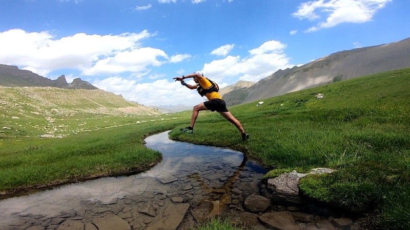
Starting in Saint Dalmas le Selvage, you will use the Gialorgue track on 5km to reach the Gialorgue pass that you will reach through narrow tracks on the second part of the climb. Arrived at the pass, you will start the descent till Estenc hamlet (1800m) where you will find some water before climbing again till the Sanguinière pass running through the state forest of the sources of the Var. You will then reach the Colombart pass (2539m) after running through the Cime Plate pass (2728m) and the Moutière pass (2438m). A mountain crossing along the Cretes Blanches will take you then to the Colombière pass (2307m), last pass before starting the descent by a nice route through the village.

- Distance 48.3 km
- Elevation gain 2470 m
- Elevation lost 2470 m
- Min. elevation 1482 m
- Max. elevation. 2721 m
- Duration (depending on pace) 6h à 12h
- Suivez les sentiers balisés, ne prenez pas de raccourcis
- Avant de vous engager sur un parcours, vérifiez la météo, vérifiez qu’il est adapté à votre niveau et laissez votre itinéraire à quelqu’un.
- Soyez prudents.
- Redoublez d’attention en période de chasse et renseignez-vous sur les battues en cours.
- Si vous rencontrez des chiens de protection de troupeaux, restez calme, évitez les gestes brusques et contournez le troupeau.
- Respectez les propriétés privées, les zones de cultures et fermez les barrières après votre passage.
- Ayez un comportement éco-citoyen : remportez vos déchets et respectez la faune et la flore pour une nature préservée.
- Veillez à toujours télécharger l'itinéraire ( GPX ) correspondant à l’itinéraire concerné.


the digital trails


![]()
Info & contacts
Offices de Tourisme du territoire
Auron : +33(0)4 93 23 02 66
St Etienne de Tinée : +33(0)4 93 02 41 96
St Dalmas le Selvage : +33(0)4 93 02 46 40

