Show the map
Certified Track - ITRA
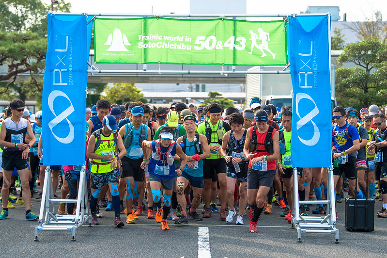
Sotochichibu 2019 - 45 km


 Yorii,Saitama,JP (JP)
 Ogose,Saitama,JP (JP)


Over 16 pass from Yorii to Ogose.
Run the trail around the outer Chichibu Mountains.
Points of Interest table
| Accum. | Intermediary | |||||||
|---|---|---|---|---|---|---|---|---|
| POI | Description | Alt. | Dist. | D+ | D- | Dist. | D+ | D- |
 Competition organized on 09/29/2019
Trace n°100555
Ascent threshold : 3 m Distance threshold : 0 m Smoothing : No Origin of altitudes : GPS
Ascent threshold : 3 m Distance threshold : 0 m Smoothing : No Origin of altitudes : GPS
Crossing
Dominant terrain : Footpath
Max alti. : 889 m
Avg alti. : 530 m
Min alti. : 85 m
Longest ascent : 420 m
Longest descent : 770 m
Dominant terrain : Footpath
Max alti. : 889 m
Avg alti. : 530 m
Min alti. : 85 m
Longest ascent : 420 m
Longest descent : 770 m
Elevation profile
More tools
Create a new roadbook page
Map and track on your website
Warning ! When you insert a Trace de Trail map on your website, you agree not to hide any element of the module (links to Trail Trail or Trail Connect banner)
Add a realisation
Validate
Add a realisation to share your chrono and describe the conditions that you encountered during you trail running !
Add a comment
Validate
Show the infos
Add a track


