Show the map
OFFICIAL ROUTE
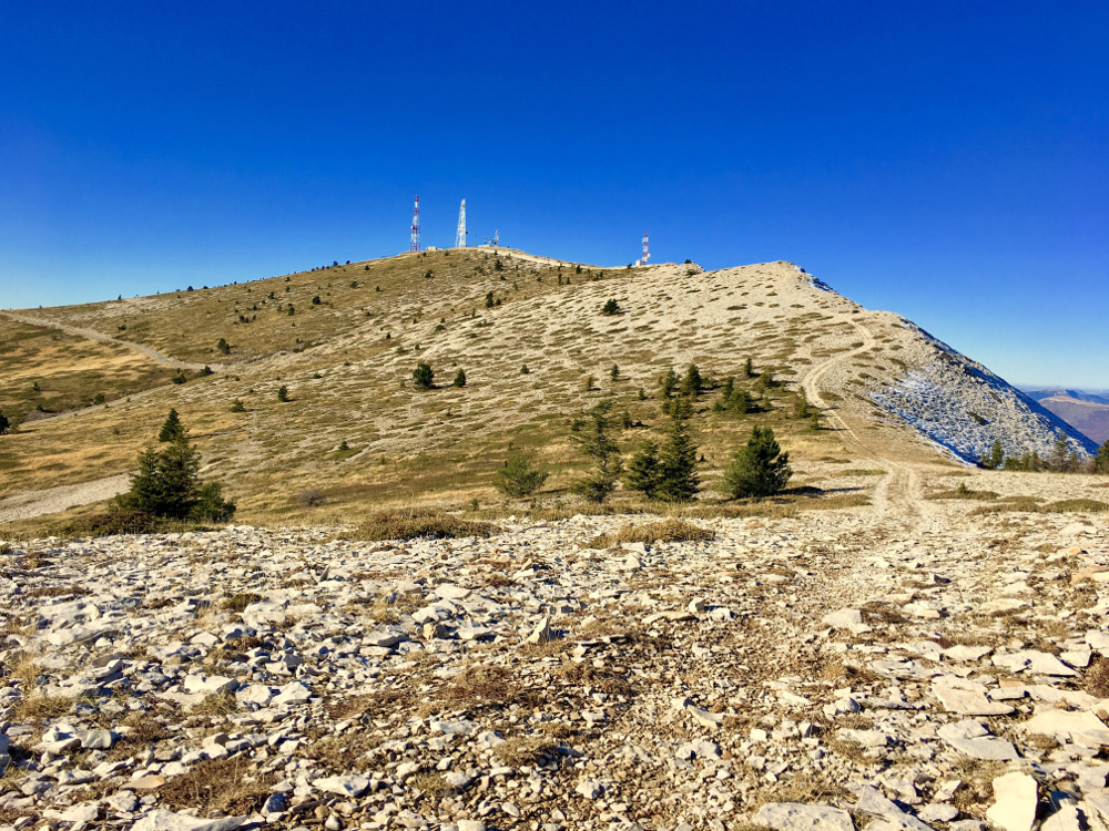
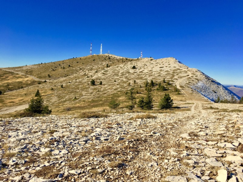
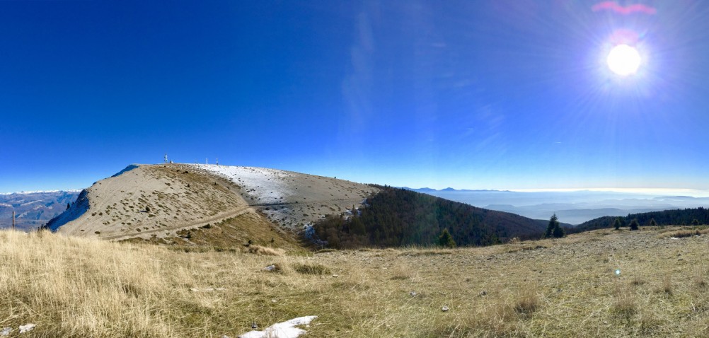
Circuit 5 rouge - Les crêtes de Lure


21.4 km
1058 m
1059 m
 Saint Etienne Les Orgues (04)
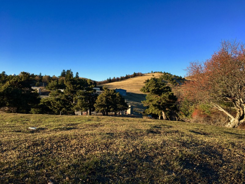
Points of Interest table
| Accum. | Intermediary | |||||||
|---|---|---|---|---|---|---|---|---|
| POI | Description | Alt. | Dist. | D+ | D- | Dist. | D+ | D- |
Trace n°32069
Ascent threshold : 3 m Distance threshold : 30 m Smoothing : Yes Origin of altitudes : MNT IGN
Ascent threshold : 3 m Distance threshold : 30 m Smoothing : Yes Origin of altitudes : MNT IGN
Loop
Dominant terrain : Footpath
Max alti. : 1820 m
Avg alti. : 1396 m
Min alti. : 1041 m
Longest ascent : 460 m
Longest descent : 530 m
Route completed by the author : Yes
Dominant terrain : Footpath
Max alti. : 1820 m
Avg alti. : 1396 m
Min alti. : 1041 m
Longest ascent : 460 m
Longest descent : 530 m
Route completed by the author : Yes
More tools
Create a new roadbook page
Map and track on your website
Warning ! When you insert a Trace de Trail map on your website, you agree not to hide any element of the module (links to Trail Trail or Trail Connect banner)
Add a realisation
Validate
Add a realisation to share your chrono and describe the conditions that you encountered during you trail running !
Add a comment
Validate
yoyo581
17/08/20, 10:41:12
Merci pour l'information. Cela permet juste d'être vigilant mais le parcours bordant l'enclos, difficile de contourner. ;-)
17/08/20, 10:41:12
Merci pour l'information. Cela permet juste d'être vigilant mais le parcours bordant l'enclos, difficile de contourner. ;-)
Forcalquier-Lure Espace Trail
17/08/20, 10:07:01
bonjour, vous trouverez une carte des emplacements des troupeaux sur la devanture du bâtiment d'accueil le Caillou à la station de Lure, au départ des itinéraires.
17/08/20, 10:07:01
bonjour, vous trouverez une carte des emplacements des troupeaux sur la devanture du bâtiment d'accueil le Caillou à la station de Lure, au départ des itinéraires.
More comments
Show the infos
Add a track


